The Ridgeway Map Booklet
The Ridgeway Map Booklet
SKU:9781852849351
Share
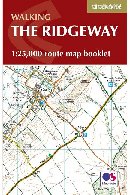
All the mapping you need to walk the Ridgeway National Trail an 87-mile (139km) route through southern England from Avebury in Wiltshire to Ivinghoe Beacon in Buckinghamshire. Following a ridge of chalk hills through the Chiltern Hills AONB and North Wessex Downs AONB, the Ridgeway is usually completed over 6-8 days and can be walked all year round. NOTE An accompanying Cicerone guidebook - The Ridgeway - describes the full route with lots of other practical information. The Cicerone guidebook INCLUDES a copy of this map booklet. This booklet of Ordnance Survey 1:25,000 Explorer maps shows the full line of the National Trail, along with the relevant extract from the OS Explorer map legend. It can be used when walking the trail in either direction, and is just the right size for slipping into a jacket pocket or top of a rucksack.
About the Author
About the Author
<p>Steve Davison is a writer and photographer who has lived in Berkshire for over 25 years. He has written a number of books as well as articles for magazines and national and local newspapers, specialising in hill-walking and UK and European travel, and counts nature, geology and the countryside among his particular interests. A keen hill-walker for many years, and a Mountain Leader, Steve has also worked as a part-time outdoor education instructor. He is also a member of the Outdoor Writers and Photographers Guild.</p><br><br><p> </p><br><br><p> </p><br>
Couldn't load pickup availability