Offa's Dyke Map Booklet
Offa's Dyke Map Booklet
SKU:9781852848941
Share
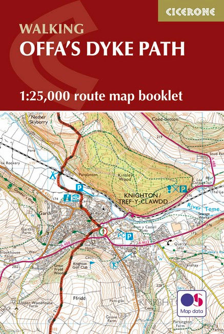
All the mapping you need to walk the Offa's Dyke Path National Trail that runs for 177 miles along the English-Welsh border between Sedbury (near Chepstow) and Prestatyn on the north Wales Coast. NOTE An accompanying Cicerone guidebook - Offa's Dyke Path - describes the full route from south to north with lots of other practical and historical information. The accompanying guidebook INCLUDES a copy of this map booklet. This booklet of Ordnance Survey 1:25,000 Explorer maps is conveniently sized for slipping into a jacket pocket or top of a rucksack and comes in a clear PVC sleeve. It shows the full and up-to-date line of the Offa's Dyke Path, along with the relevant extract from the OS Explorer map legend.
About the Author
About the Author
Couldn't load pickup availability