The Cleveland Way Map Booklet 2/e
The Cleveland Way Map Booklet 2/e
SKU:9781786312228
Share
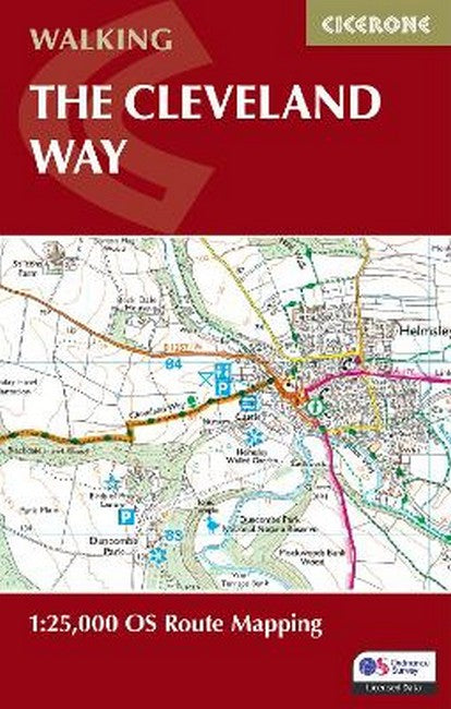
All the mapping you need to complete the Cleveland Way national trail. A long-distance route of 177 km (110 miles), giving around 9 days of easy and enjoyable walking through the North York Moors National Park, taking in open heather moorlands, gentle dales, interesting towns and villages, and dramatic cliff coastlines. This booklet of Ordnance Survey 1:25,000 Explorer maps has been designed for convenient use on the trail. It shows the full and up-to-date line of the national trail, along with the relevant extract from the OS Explorer map legend, and can be used when walking the route in either direction. It is conveniently sized for slipping into a jacket pocket or the top of a rucksack. This booklet is included with the Cicerone guidebook to the Cleveland Way and the Yorkshire Wolds Way National Trails.
About the Author
About the Author
Paddy Dillon is a prolific walker and guidebook writer, with over 100 guidebooks to his name and contributions to 40 other titles. He has written for several outdoor magazines and other publications and has appeared on radio and television. Paddy uses a tablet computer to write as he walks. His descriptions are therefore precise, having been written at the very point at which the reader uses them. Paddy is an indefatigable long-distance walker who has walked all of Britain's National Trails and several European trails. He has also walked in Nepal, China, Korea and the Rocky Mountains of Canada and the US. Paddy is a member of the Outdoor Writers and Photographers Guild and President of the Backpackers Club. www.paddydillon.co.uk
Couldn't load pickup availability